 Cart(
Cart(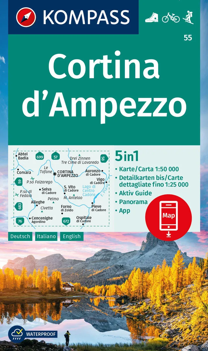
Map No. 55, Cortina d'Ampezzo - with a panorama map on the reverse, from Kompass, printed on sturdy, waterproof and tear-resistant synthetic paper in their series of walking maps of selected areas of Italy at 1:50,000, with hiking routes on a topographic base, various types of accommodation, recreational facilities, places of interest, etc. Kompass are Europe’s largest publishers of walking maps, with extensive coverage of hiking areas in other countries, all listed on our website.
The series covers the northern part of the Italian Alps, the lake region of Lombardy, the Dolomites, Italian Riviera, selected parts of Tuscany and Umbria, the Sorrento Peninsula, and the islands of the Tyrrhenian Sea.
* Coverage of the Dolomites by Kompass at more detailed scales (mainly 1:25,000) is listed on our website in a separate series.
*Cartography:* contour interval varies from 100 metres in mountainous areas to 25 metres in the hills around Florence and Siena. All the maps highlight local hiking paths and, where appropriate, long-distance routes or _via ferrata_ trails, and show various types of accommodation such as selected inns and hotels, campsites, mountain huts and refuges, etc. Some titles also highlight cycle or mountain bike trails or ski routes. Selected titles include on the reverse panorama drawings of the area, as indicated in the individual descriptions.
- Publisert: -> 2024
- Innbinding: Falset
- Materiale: Plastlaminert
- Målestokk: 1:25 000


")


